Discover Oxford West End

1
2
3
4
5
6
7
8
9
10
11
12
13
Map showing the Oxford West End area and its proposed developments and infrastructure projects
1
Enabling infrastructure

Oxford Station West improvements

£171m – delivery in 2025

Funded
2
Enabling infrastructure

Oxford Station East

£ TBC

Not yet funded
3
Enabling infrastructure

Movement and Place Interventions

Framework funded. Delivery in 2023-4.

Funded
4
Enabling infrastructure

Botley Road bus and cycle enhancements

First phases delivered and further phases proposed (to be funded)

Partially funded
5
Enabling infrastructure

Osney Mead and Thames Improved Active Travel

A number of schemes delivered.

Funded
6
Enabling infrastructure

The Energy Systems Accelerator

£600k

Funded
7
Enabling infrastructure

Cowley branch line reopening

£135m –confirmation required by 2024

Not yet funded
8
Enabling infrastructure

Oxford Flood Alleviation Scheme

£176m – delivery by 2030

Partially funded
9
Enabling infrastructure

Underground power lines at Osney Mead

In the region of £20m – delivery TBC

Not yet funded
10
Enabling infrastructure

Traffic Filters Trial

Funded
11
Enabling infrastructure

Osney Mead to Oxpens pedestrian and cycle bridge

£10m – delivery in 2025

Funded
12
Enabling infrastructure

Zero Emission Zone

Funded
13
Enabling infrastructure

Workplace Parking Levy

Not yet funded
1
2
3
4
5
6
7
8
9
10
Map showing the Oxford West End area and its proposed developments and infrastructure projects
1
Development opportunity

Becket St enabling development

Potential delivery from 2027

2
Development opportunity

Oxpens (phase 1)

Potential delivery from 2025

3
Development opportunity

Osney Mead

Potential delivery TBC

4
Development opportunity

Beaver House, Hythe Bridge Street

Potential delivery from 2026
5
Development opportunity

Island site and Worcester Street Car Park

6
Development opportunity

Frideswide Square South

7
Development opportunity

Osney Lane

Being considered for development.

8
Development opportunity

Landholdings west of the station

At a very early stage of reviewing opportunities.

9
Development opportunity

Inventa and Fabrica

Inventa is now available. Fabrica to be available 2026

10

County Hall

On the market

Development opportunities

Beaver House site

Beaver House, Hythe Bridge Street

Located at the gateway to Oxford City centre, and just 200 metres from Oxford railway station, Bridge Labs is an Learn more about Beaver House, Hythe Bridge Street

Mission St + BGO

Inventa and Fabrica

Mission Street and BGO are delivering the first two commercial sciences developments in the West End.

The schemes comprise Inventa, a Learn more about Inventa and Fabrica

County Hall site

County Hall

County Hall is owned freehold by Oxfordshire County Council. It is a prime site prominently located in the city centre Learn more about County Hall

Oxpens development

Oxpens

Oxpens is one of the largest brownfield sites in the city centre. Currently home to a car park, several buildings, Learn more about Oxpens

Osney Mead map

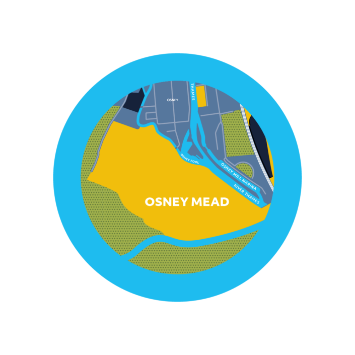
Osney Mead

A 44 acre under-developed industrial site, with the University of Oxford as a major landowner.

Learn more about Osney Mead
Osney Lane development

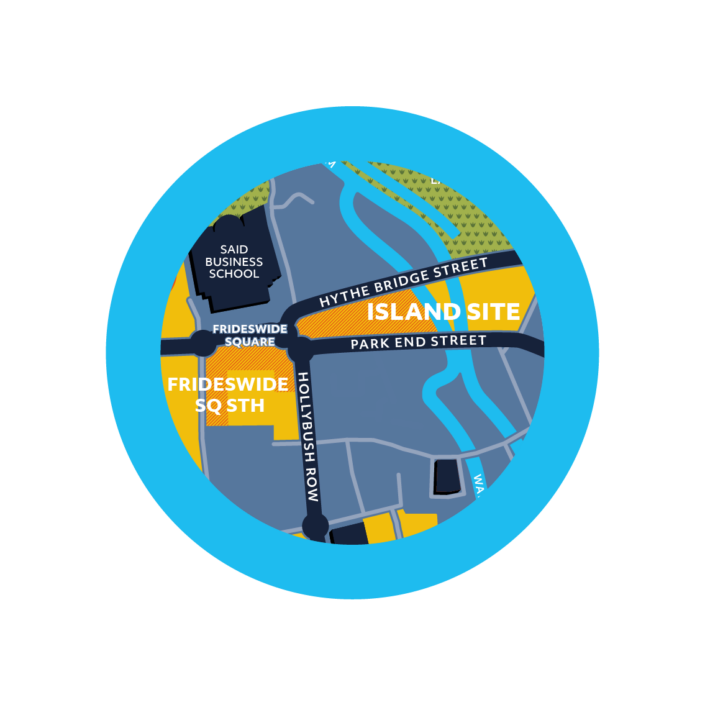
Island site, Frideswide Square South and Worcester Street Car Park

Nuffield College is bringing forward a number of sites in prominent locations in the West End, including Worcester Street Car Learn more about Island site, Frideswide Square South and Worcester Street Car Park

Becket Street Car Park development

Becket St enabling development

Currently underused as a surface level car park, with scope to better serve the station and transform this city centre Learn more about Becket St enabling development

Osney Lane: Christ Church site

Osney Lane

Properties owned by Christ Church on Osney Lane.

Learn more about Osney Lane

Enabling infrastructure

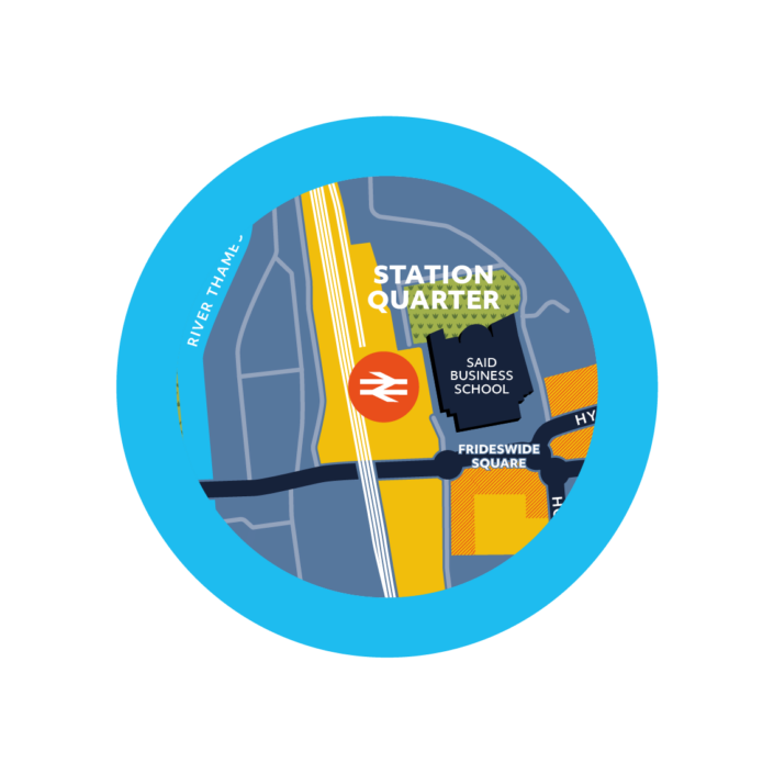
Oxford station (western side)

Oxford Station – western side

A new track, platform, ticket hall and wider bridge over Botley Road.

Learn more about Oxford Station – western side
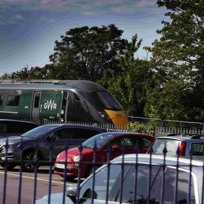
a train pulling into Oxford Station behind the car park

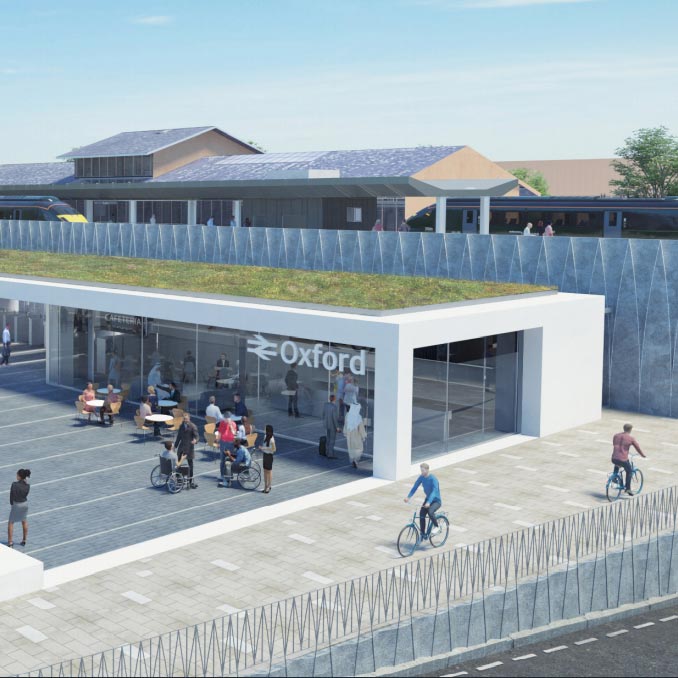
Oxford Station – eastern side

A new track and platform, main station building, bus interchange and walking and cycling provision, and an enhanced public realm.

Learn more about Oxford Station – eastern side
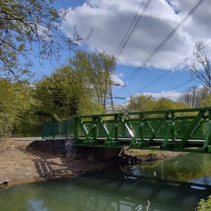
A replacement wider bridge over the Bulstake Stream on Willow Walk

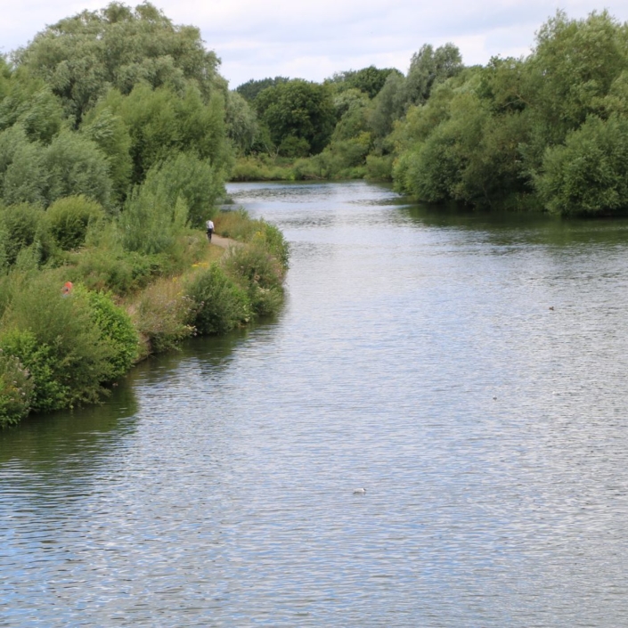
Osney Mead and Thames active travel

A number of different schemes that enhance the usability and attractiveness of quiet active travel (pedestrian and cycle) routes in the Learn more about Osney Mead and Thames active travel

a cyclist in the city

Botley Road bus and cycle enhancements

Highway improvements that aim to reduce bus journey times and provide a safer and more attractive route for cyclists and Learn more about Botley Road bus and cycle enhancements

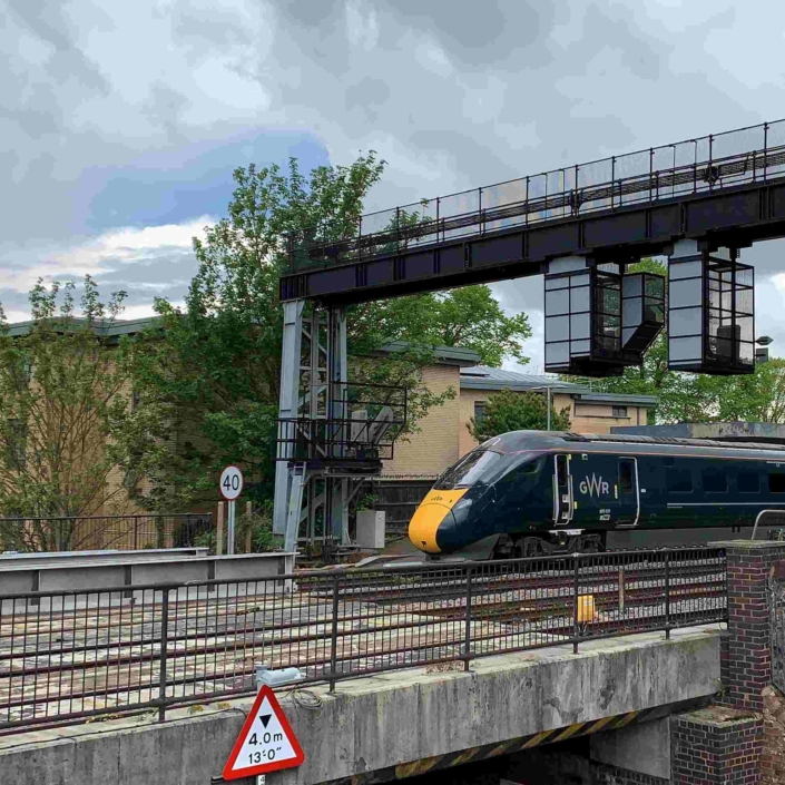
Train pulling out of station

Cowley Branch Line

Reopening of passenger services on the branch line, with two new stations to Oxford Littlemore and Oxford Cowley, 7 and Learn more about Cowley Branch Line

The 'mini TESA' launchJohn Cairns via Oxford University

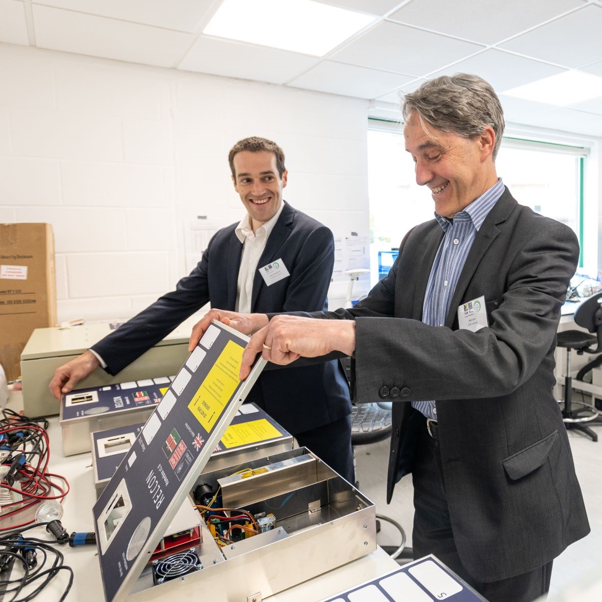
The Energy Systems Accelerator (TESA)

A new multi-disciplinary hub, the first of its kind in the UK, where organisations can come together to innovate in Learn more about The Energy Systems Accelerator (TESA)

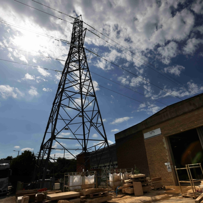
Burying or diverting power lines

Osney Mead is crossed by two power lines that could be buried or diverted.

Learn more about Burying or diverting power lines
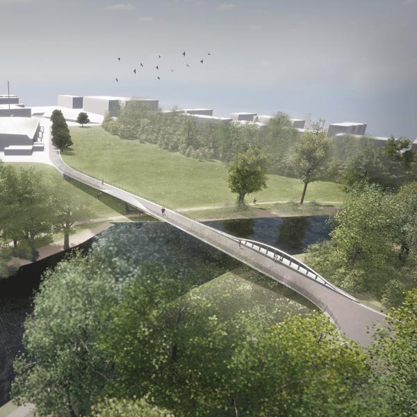
River Thames Bridge and path works CGI

Oxpens River Bridge and path works

This new bridge is proposed between Oxpens and Grandpont Nature Park. It is designed as a shared space for both Learn more about Oxpens River Bridge and path works

River Thames surrounded by green shrubs and walking path

Oxford Flood Alleviation Scheme

One of the biggest flood schemes currently planned in England. Working with the natural floodplain to the west of Oxford, Learn more about Oxford Flood Alleviation Scheme

two people enjoying Broad Meadow experimental public space

Movement and Place Interventions

The Central Oxfordshire Travel Plan identified a need for a Movement and Place Framework. This study will integrate all planned Learn more about Movement and Place Interventions

a bus and pedestrians in Oxford

Traffic Filters Trial

Camera enforced points on identified roads that will require private vehicles passing through to have a permit.

The scheme aims to Learn more about Traffic Filters Trial

A bus moving through a city. Greener ways to travel.

Zero Emission Zone

Oxfordshire County Council and Oxford City Council have introduced a Zero Emission Zone (ZEZ) in Oxford to improve air quality, Learn more about Zero Emission Zone

Workplace Parking Levy

An annual charge to businesses for staff parking spaces at their premises. Businesses with 11 or more staff parking spaces Learn more about Workplace Parking Levy